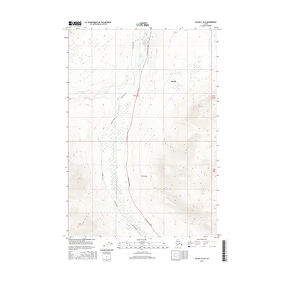
2016 Map of Valdez C-4 SE
USGS Topo · Published 2016About this map
Tonsina sits at the northern end of this interior landscape, where the Richardson Highway and the Alaska Pipeline parallel one another through the river valleys. The terrain is defined by the convergence of the Tonsina River and the Little Tonsina River, which create a complex drainage network across the central and southern portions of the quadrangle. This 2016 survey illustrates the critical infrastructure corridor that supports energy and transport through this part of the Unorganized Borough. While the settlement at Tonsina is the primary human landmark, the presence of these major transit and utility lines highlights the region's importance as a strategic link between the coast and the interior.
Find a feature on this map
9 named features on this map. Tap any name to fly to it.
Don’t see what you’re looking for? This feature index may not catch every label — zoom into the map to look around manually.
Map Details
Editions of this 2016 Valdez C-4 SE Map
This is the sole edition of this map. No revisions or reprints were ever made.
Other maps of this area

1951 · Valdez B-3
USGS Topo · 1:63,360

1951 · Valdez C-3
USGS Topo · 1:63,360

1951 · Valdez C-4
USGS Topo · 1:63,360

1951 · Valdez B-4
USGS Topo · 1:63,360

1952 · Valdez
USGS Topo · 1:250,000

1953 · Valdez C-3
USGS Topo · 1:63,360

1953 · Valdez B-4
USGS Topo · 1:63,360

1953 · Valdez C-4
USGS Topo · 1:63,360

1960 · Valdez
USGS Topo · 1:250,000

1994 · Valdez B-4
USGS Topo · 1:63,360