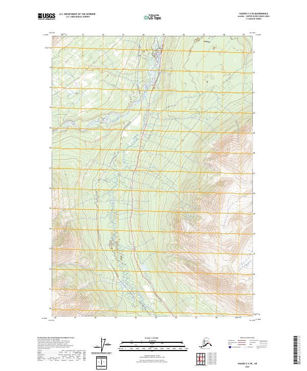
2023 Map of Valdez C-4 SE
USGS Topo · Published 2023About this map
The Alaska Pipeline and the Richardson Highway parallel one another as they cut through this interior landscape near Tonsina. This corridor serves as a vital infrastructure artery, following the natural course of the Little Tonsina River until it meets the larger Tonsina River. The convergence of these waterways and the modern energy transit route creates a distinct spatial pattern where heavy industry and wilderness access meet.
Find a feature on this map
11 named features on this map. Tap any name to fly to it.
Don’t see what you’re looking for? This feature index may not catch every label — zoom into the map to look around manually.
Map Details
Editions of this 2023 Valdez C-4 SE Map
This is the sole edition of this map. No revisions or reprints were ever made.
Other maps of this area

1951 · Valdez B-3
USGS Topo · 1:63,360

1951 · Valdez C-3
USGS Topo · 1:63,360

1951 · Valdez C-4
USGS Topo · 1:63,360

1951 · Valdez B-4
USGS Topo · 1:63,360

1952 · Valdez
USGS Topo · 1:250,000

1953 · Valdez C-3
USGS Topo · 1:63,360

1953 · Valdez B-4
USGS Topo · 1:63,360

1953 · Valdez C-4
USGS Topo · 1:63,360

1960 · Valdez
USGS Topo · 1:250,000

1994 · Valdez B-4
USGS Topo · 1:63,360