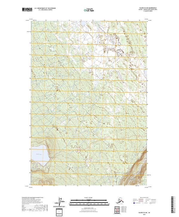
2023 Map of Valdez D-5 NE
USGS Topo · Published 2023About this map
Hudson Lake serves as a prominent landmark in this corner of the Copper River Census Area, surrounded by a complex network of wetlands and small water bodies. The landscape is defined by the heavy meanders of the Klutina River as it cuts through the southeastern corner, creating sharp geographic features like Cooks Bend. Transportation in this largely unsettled terrain is limited to specific routes like the Hudson Lake Trl and the Brenwick-Craig Road, which provide the primary access through the townships. The map illustrates a wilderness transition, where established trails meet the shifting hydrology of the Alaskan interior, offering a clear record of the area's modern topography and public land survey boundaries.
Find a feature on this map
11 named features on this map. Tap any name to fly to it.
Don’t see what you’re looking for? This feature index may not catch every label — zoom into the map to look around manually.
Map Details
Editions of this 2023 Valdez D-5 NE Map
This is the sole edition of this map. No revisions or reprints were ever made.
Other maps of this area

1948 · Valdez D-5
USGS Topo · 1:63,360

1949 · Gulkana A-3
USGS Topo · 1:63,360

1949 · Valdez D-4
USGS Topo · 1:63,360

1951 · Valdez D-5
USGS Topo · 1:63,360

1951 · Gulkana
USGS Topo · 1:250,000

1951 · Gulkana A-4
USGS Topo · 1:63,360

1952 · Gulkana A-3
USGS Topo · 1:63,360

1952 · Valdez
USGS Topo · 1:250,000

1952 · Valdez D-4
USGS Topo · 1:63,360

1952 · Gulkana A-4
USGS Topo · 1:63,360