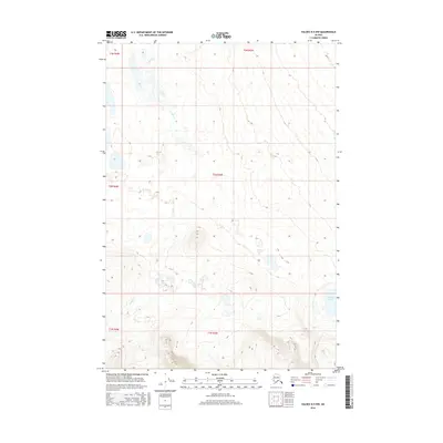
2016 Map of Valdez D-5 NW
USGS Topo · Published 2016About this map
Nickel Cr and its tributaries carve a network of drainages across this interior Alaskan landscape, characterized by significant elevation changes and glacial-carved terrain. In the southeast, Hudson Lake sits as a prominent landmark amongst the shifting topography of the Unorganized Borough. This 2016 survey emphasizes the complex township and range system, including t2n r3w and t1n r3w, which provide a vital framework for navigation in a region defined by its hydrography and natural contours rather than human settlements. The map's detailed contour lines illustrate the intricate rise and fall of the Copper River basin uplands during the early twenty-first century.
Find a feature on this map
8 named features on this map. Tap any name to fly to it.
Don’t see what you’re looking for? This feature index may not catch every label — zoom into the map to look around manually.
Map Details
Editions of this 2016 Valdez D-5 NW Map
This is the sole edition of this map. No revisions or reprints were ever made.
Other maps of this area

1948 · Valdez D-5
USGS Topo · 1:63,360

1949 · Valdez D-6
USGS Topo · 1:63,360

1951 · Valdez D-5
USGS Topo · 1:63,360

1951 · Gulkana
USGS Topo · 1:250,000

1951 · Valdez D-6
USGS Topo · 1:63,360

1951 · Gulkana A-4
USGS Topo · 1:63,360

1952 · Valdez
USGS Topo · 1:250,000

1952 · Gulkana A-4
USGS Topo · 1:63,360

1959 · Gulkana
USGS Topo · 1:250,000

1960 · Valdez
USGS Topo · 1:250,000