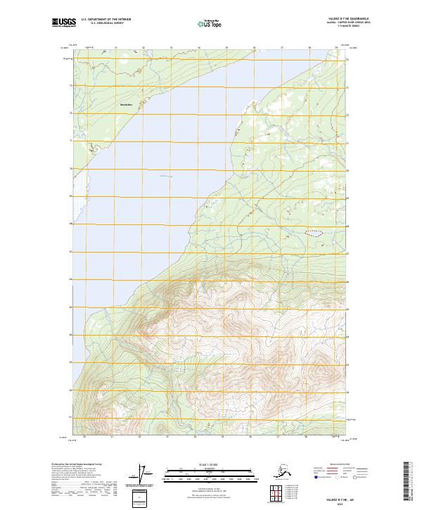
2023 Map of Valdez D-7 NE
USGS Topo · Published 2023About this map
Tazlina Lake dominates the central landscape of this Copper River Census Area terrain, its eastern shores defined by a complex network of glacial melt and runoff. The settlement of Mendeltna sits near the northern boundary, positioned where the wilderness gives way to the vast water body. This modern survey reflects a land largely untouched by heavy infrastructure, where the natural drainage of Kaina Creek and Tokaina Creek dictates the movement of water across the varying elevations. The map provides a precise view of the Public Land Survey System grids, showing the intersection of Townships 1 through 3 North and Ranges 6 through 7 West, essential for understanding land divisions in this part of the Alaskan interior.
Find a feature on this map
10 named features on this map. Tap any name to fly to it.
Don’t see what you’re looking for? This feature index may not catch every label — zoom into the map to look around manually.
Map Details
Editions of this 2023 Valdez D-7 NE Map
This is the sole edition of this map. No revisions or reprints were ever made.
Other maps of this area

1949 · Gulkana A-5
USGS Topo · 1:63,360

1949 · Valdez D-6
USGS Topo · 1:63,360

1949 · Valdez D-7
USGS Topo · 1:63,360

1951 · Gulkana
USGS Topo · 1:250,000

1951 · Valdez D-6
USGS Topo · 1:63,360

1951 · Valdez D-7
USGS Topo · 1:63,360

1952 · Valdez
USGS Topo · 1:250,000

1952 · Gulkana A-5
USGS Topo · 1:63,360

1959 · Gulkana
USGS Topo · 1:250,000

1960 · Valdez
USGS Topo · 1:250,000