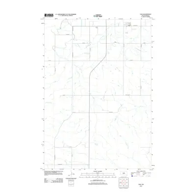
2012 Map of Vale
USGS Topo · Published 2012About this map
Vale serves as the primary settlement on this South Dakota landscape, situated near a network of essential water management features. The area's agricultural foundation is visible through the intricate system of irrigation channels, including the Vale Lateral, Beal Lateral, and Baldwin Lateral. These man-made waterways connect with natural drainages like Whitewood Cr and Cottonwood Cr, illustrating the effort to manage water in this western environment. For those researching local heritage, the map identifies both the Vale Cem and the Old Vale Cem, providing clear markers for genealogical study. The southern portion of the quadrangle transitions into more open terrain, punctuated by Sulphur Spring and the winding course of Ninemile Cr. This survey documents a quiet rural community defined by its water rights and early twentieth-century cemetery sites.
Find a feature on this map
28 named features on this map. Tap any name to fly to it.
Don’t see what you’re looking for? This feature index may not catch every label — zoom into the map to look around manually.
Map Details
Editions of this 2012 Vale Map
This is the sole edition of this map. No revisions or reprints were ever made.
Other maps of this area

1893 · Rapid
USGS Topo · 1:125,000

1894 · Deadwood
USGS Topo · 1:125,000

1898 · Rapid
USGS Topo · 1:125,000

1899 · Sturgis
USGS Topo · 1:62,500

1901 · Deadwood
USGS Topo · 1:125,000

1903 · Rapid
USGS Topo · 1:125,000

1905 · Saint Onge
USGS Topo · 1:62,500

1906 · Vale
USGS Topo · 1:62,500

1907 · Belle Fourche
USGS Topo · 1:125,000

1913 · Newell
USGS Topo · 1:125,000