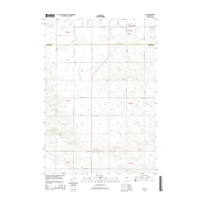
2015 Map of Vale
USGS Topo · Published 2015About this map
The small settlement of Vale sits at the northern edge of this South Dakota landscape, where the Butte and Meade County line divides the plains. Irrigation is the defining characteristic of this terrain, evidenced by a complex network of water management features including the South Canal, Beal Lateral, and Baldwin Lateral. These man-made channels cut across the natural drainage of Whitewood Cr and Cottonwood Cr, illustrating the effort to transform the semi-arid environment into productive land.
Find a feature on this map
41 named features on this map. Tap any name to fly to it.
Don’t see what you’re looking for? This feature index may not catch every label — zoom into the map to look around manually.
Map Details
Editions of this 2015 Vale Map
This is the sole edition of this map. No revisions or reprints were ever made.
Other maps of this area

1893 · Rapid
USGS Topo · 1:125,000

1894 · Deadwood
USGS Topo · 1:125,000

1898 · Rapid
USGS Topo · 1:125,000

1899 · Sturgis
USGS Topo · 1:62,500

1901 · Deadwood
USGS Topo · 1:125,000

1903 · Rapid
USGS Topo · 1:125,000

1905 · Saint Onge
USGS Topo · 1:62,500

1906 · Vale
USGS Topo · 1:62,500

1907 · Belle Fourche
USGS Topo · 1:125,000

1913 · Newell
USGS Topo · 1:125,000