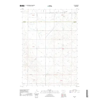
2017 Map of Vale
USGS Topo · Published 2017About this map
The town of Vale serves as the focal point for this 2017 survey, situated near the boundary where Butte and Meade counties meet. This rural landscape is defined by an extensive network of water management features, including the Shaw Lateral, Beal Lateral, and the prominent S Canal, which support agriculture in the semi-arid region. These man-made channels intersect with natural drainages such as Cottonwood Cr, Whitewood Cr, and Ninemile Cr, illustrating the complex irrigation systems essential to local land use.
Find a feature on this map
35 named features on this map. Tap any name to fly to it.
Don’t see what you’re looking for? This feature index may not catch every label — zoom into the map to look around manually.
Map Details
Editions of this 2017 Vale Map
This is the sole edition of this map. No revisions or reprints were ever made.
Other maps of this area

1893 · Rapid
USGS Topo · 1:125,000

1894 · Deadwood
USGS Topo · 1:125,000

1898 · Rapid
USGS Topo · 1:125,000

1899 · Sturgis
USGS Topo · 1:62,500

1901 · Deadwood
USGS Topo · 1:125,000

1903 · Rapid
USGS Topo · 1:125,000

1905 · Saint Onge
USGS Topo · 1:62,500

1906 · Vale
USGS Topo · 1:62,500

1907 · Belle Fourche
USGS Topo · 1:125,000

1913 · Newell
USGS Topo · 1:125,000