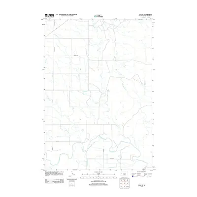
2012 Map of Vale NE
USGS Topo · Published 2012About this map
The Belle Fourche River winds through this Butte County landscape, defining the local hydrology alongside a complex network of man-made irrigation channels. These features, including the Antelope Lateral, Sheffield Lateral, and Richards Lateral, indicate an engineered agricultural environment designed to manage water across the arid plains. The transport network is anchored by historically significant routes such as Old Hwy 212 and Old Twilight Rd, which intersect the section lines of the rural grid. Smaller drainage systems like Horse Cr, Willow Cr, and Deer Cr feed into the primary river valley, illustrating the natural drainage patterns that dictate the placement of local roads like Youngberg Rd and Knuteson Rd. This 2012 survey captures a snapshot of contemporary land use where water rights and road access remain central to the region's identity.
Find a feature on this map
21 named features on this map. Tap any name to fly to it.
Don’t see what you’re looking for? This feature index may not catch every label — zoom into the map to look around manually.
Map Details
Editions of this 2012 Vale NE Map
This is the sole edition of this map. No revisions or reprints were ever made.
Other maps of this area

1906 · Vale
USGS Topo · 1:62,500

1913 · Newell
USGS Topo · 1:125,000

1951 · Volunteer
USGS Topo · 1:24,000

1951 · Vale
USGS Topo · 1:24,000

1951 · Vale SE
USGS Topo · 1:24,000

1951 · Newell
USGS Topo · 1:24,000

1951 · Vale NE
USGS Topo · 1:24,000

1951 · Vale
USGS Topo · 1:62,500

1953 · Rapid City
USGS Topo · 1:250,000

1957 · Rapid City
USGS Topo · 1:250,000