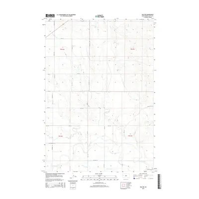
2015 Map of Vale NE
USGS Topo · Published 2015About this map
The Belle Fourche River meanders through the southern reaches of this landscape, its path mirrored by an extensive irrigation network essential to the Butte County high plains. Named laterals, including the Antelope Lateral, Sheffield Lateral, Richards Lateral, and Wood Lateral, distribute water across the territory, illustrating the intensive hydrological management of this agricultural region. Tributaries such as Willow Cr and Jug Cr drain toward the river, cutting through the section lines of the Public Land Survey System.
Find a feature on this map
36 named features on this map. Tap any name to fly to it.
Don’t see what you’re looking for? This feature index may not catch every label — zoom into the map to look around manually.
Map Details
Editions of this 2015 Vale NE Map
This is the sole edition of this map. No revisions or reprints were ever made.
Other maps of this area

1906 · Vale
USGS Topo · 1:62,500

1913 · Newell
USGS Topo · 1:125,000

1951 · Volunteer
USGS Topo · 1:24,000

1951 · Vale
USGS Topo · 1:24,000

1951 · Vale SE
USGS Topo · 1:24,000

1951 · Newell
USGS Topo · 1:24,000

1951 · Vale NE
USGS Topo · 1:24,000

1951 · Vale
USGS Topo · 1:62,500

1953 · Rapid City
USGS Topo · 1:250,000

1957 · Rapid City
USGS Topo · 1:250,000