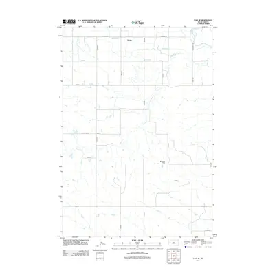
2012 Map of Vale SE
USGS Topo · Published 2012About this map
The small settlement of Empire sits at the northern edge of this high plains landscape, where an extensive network of irrigation canals supports the regional agricultural economy. These man-made watercourses, including the Meade Lateral, Evans Lateral, Wood Lateral, and Perry Lateral, represent the vital infrastructure required for farming in the arid climate of western South Dakota. The land is defined by the winding course of Ninemile Cr and Dry Cr, which flow toward the Belle Fourche River seen in the northeast corner.
Find a feature on this map
31 named features on this map. Tap any name to fly to it.
Don’t see what you’re looking for? This feature index may not catch every label — zoom into the map to look around manually.
Map Details
Editions of this 2012 Vale SE Map
This is the sole edition of this map. No revisions or reprints were ever made.
Other maps of this area

1893 · Rapid
USGS Topo · 1:125,000

1898 · Rapid
USGS Topo · 1:125,000

1903 · Rapid
USGS Topo · 1:125,000

1906 · Vale
USGS Topo · 1:62,500

1913 · Newell
USGS Topo · 1:125,000

1951 · Volunteer
USGS Topo · 1:24,000

1951 · Vale
USGS Topo · 1:24,000

1951 · Vale SE
USGS Topo · 1:24,000

1951 · Newell
USGS Topo · 1:24,000

1951 · Vale NE
USGS Topo · 1:24,000