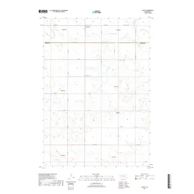
2017 Map of Vale SE
USGS Topo · Published 2017About this map
Empire stands as a primary focal point in this Western South Dakota landscape, situated just north of the border between Butte and Meade counties. The terrain is defined by an intricate network of irrigation features, including the S Canal and multiple distributaries such as Meade Lateral, Evans Lateral, and Wood Lateral. These man-made water systems indicate a highly managed agricultural environment, essential for farming in the high plains. The natural hydrology is dominated by the Belle Fourche River in the northeast corner and the winding path of Ninemile Cr through the central sections. Topography becomes more pronounced to the south at Buzzards Peak, while the northern portion is marked by a regular grid of section roads like Rosander Rd and Valley Township Rd, illustrating the transition from systematic prairie cultivation to more broken drainage terrain.
Find a feature on this map
26 named features on this map. Tap any name to fly to it.
Don’t see what you’re looking for? This feature index may not catch every label — zoom into the map to look around manually.
Map Details
Editions of this 2017 Vale SE Map
This is the sole edition of this map. No revisions or reprints were ever made.
Other maps of this area

1893 · Rapid
USGS Topo · 1:125,000

1898 · Rapid
USGS Topo · 1:125,000

1903 · Rapid
USGS Topo · 1:125,000

1906 · Vale
USGS Topo · 1:62,500

1913 · Newell
USGS Topo · 1:125,000

1951 · Volunteer
USGS Topo · 1:24,000

1951 · Vale
USGS Topo · 1:24,000

1951 · Vale SE
USGS Topo · 1:24,000

1951 · Newell
USGS Topo · 1:24,000

1951 · Vale NE
USGS Topo · 1:24,000