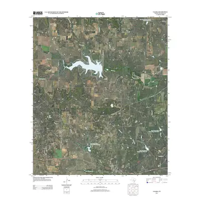
2013 Map of Valera
USGS Topo · Published 2013About this map
Valera serves as the primary settlement hub in this Coleman County landscape, situated where FM-503 meets the southern rail corridor. The town layout is defined by streets like Bledsoe Ave and Young St, while the nearby Old Valera Cem offers a point of interest for those researching local family lineages. To the north, the waters of Hords Cr Lake are fed by McCall Br and Live Oak Br, illustrating the region's managed water resources.
Find a feature on this map
46 named features on this map. Tap any name to fly to it.
Don’t see what you’re looking for? This feature index may not catch every label — zoom into the map to look around manually.
Map Details
Editions of this 2013 Valera Map
This is the sole edition of this map. No revisions or reprints were ever made.
Other maps of this area

1887 · Coleman
USGS Topo · 1:125,000

1889 · Coleman
USGS Topo · 1:125,000

1892 · Ballinger
USGS Topo · 1:125,000

1932 · Voss
USGS Topo · 1:62,500

1954 · Brownwood
USGS Topo · 1:250,000

1960 · Lake Scarborough
USGS Topo · 1:24,000
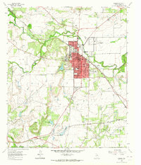
1963 · Coleman
USGS Topo · 1:24,000
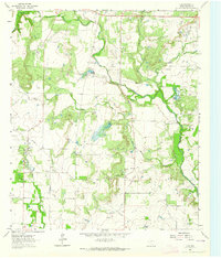
1964 · Fisk
USGS Topo · 1:24,000

1967 · Talpa
USGS Topo · 1:24,000

1967 · Novice West
USGS Topo · 1:24,000