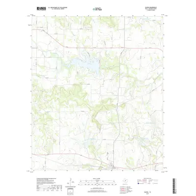
2019 Map of Valera
USGS Topo · Published 2019About this map
Valera sits at the southern edge of this West Texas landscape, positioned at the junction of FM 503 and several local routes like Young St and 2nd St. The terrain is defined by a complex drainage network that includes Mustang Br and Home Cr, which flow through a region marked by numerous water management sites such as Soil Conservation Service Site 5 Reservoir. To the north, Hords Creek Lake provides a significant focal point for the surrounding cattle country, flanked by Friendship Park Rd.
Find a feature on this map
49 named features on this map. Tap any name to fly to it.
Don’t see what you’re looking for? This feature index may not catch every label — zoom into the map to look around manually.
Map Details
Editions of this 2019 Valera Map
This is the sole edition of this map. No revisions or reprints were ever made.
Other maps of this area

1887 · Coleman
USGS Topo · 1:125,000

1889 · Coleman
USGS Topo · 1:125,000

1892 · Ballinger
USGS Topo · 1:125,000

1932 · Voss
USGS Topo · 1:62,500

1954 · Brownwood
USGS Topo · 1:250,000

1960 · Lake Scarborough
USGS Topo · 1:24,000
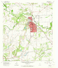
1963 · Coleman
USGS Topo · 1:24,000
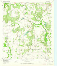
1964 · Fisk
USGS Topo · 1:24,000

1967 · Talpa
USGS Topo · 1:24,000

1967 · Novice West
USGS Topo · 1:24,000