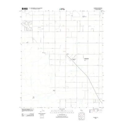
2012 Map of Valerie
USGS Topo · Published 2012About this map
Martinez and the nearby One Hundred Palms settlement define this grid-patterned landscape in the Coachella Valley. The map documents a blend of agricultural infrastructure and cultural heritage, most notably the Early Indian Fish Traps located near the base of the mountains to the west. This archaeological site provides a direct link to the ancient shoreline of Lake Cahuilla, contrasting with the modern aviation activity at the Jacqueline Cochran Regional Airport to the north.
Find a feature on this map
63 named features on this map. Tap any name to fly to it.
Don’t see what you’re looking for? This feature index may not catch every label — zoom into the map to look around manually.
Map Details
Editions of this 2012 Valerie Map
This is the sole edition of this map. No revisions or reprints were ever made.
Other maps of this area
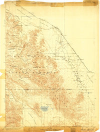
1904 · Indio
USGS Topo · 1:125,000
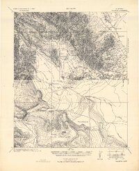
1931 · Vallecito
USGS Topo · 1:125,000
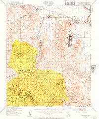
1941 · Toro Peak
USGS Topo · 1:62,500
1941 · Clark Lake
USGS Topo · 1:62,500
1941 · Coachella
USGS Topo · 1:62,500
1942 · Agua Dulce
USGS Topo · 1:62,500
1942 · Clark Lake
USGS Topo · 1:62,500
1943 · Vallecito
USGS Topo · 1:125,000
1943 · Coachella
USGS Topo · 1:62,500
1944 · Agua Dulce
USGS Topo · 1:62,500