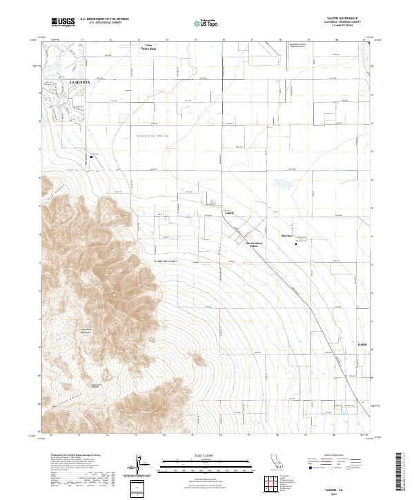
2021 Map of Valerie
USGS Topo · Published 2021About this map
Coachella Valley agriculture and desert residential expansion meet the stark rise of the Santa Rosa Mountains in this modern survey. The map details a transition from the gridded citrus groves and date palm fields of Vista Santa Rosa to the planned developments of La Quinta in the northwest. Significant aviation infrastructure is present at the Jacqueline Cochran Regional Airport, while the valley floor is punctuated by small unincorporated communities like One Hundred Palms and Valerie. Local heritage is preserved in sites such as the Toro Cem and Martinez Cem. The eastern edge is defined by the Whitewater River channel, which drains the arid landscape. To the southwest, the terrain shifts abruptly into the deep incisions of Agua Alta Canyon and Martinez Canyon, illustrating the geographical barrier that defines the western edge of human settlement in this part of Riverside County.
Find a feature on this map
67 named features on this map. Tap any name to fly to it.
Don’t see what you’re looking for? This feature index may not catch every label — zoom into the map to look around manually.
Map Details
Editions of this 2021 Valerie Map
This is the sole edition of this map. No revisions or reprints were ever made.
Other maps of this area

1904 · Indio
USGS Topo · 1:125,000

1931 · Vallecito
USGS Topo · 1:125,000

1941 · Toro Peak
USGS Topo · 1:62,500

1941 · Clark Lake
USGS Topo · 1:62,500

1941 · Coachella
USGS Topo · 1:62,500

1942 · Agua Dulce
USGS Topo · 1:62,500

1942 · Clark Lake
USGS Topo · 1:62,500

1943 · Vallecito
USGS Topo · 1:125,000

1943 · Coachella
USGS Topo · 1:62,500

1944 · Agua Dulce
USGS Topo · 1:62,500