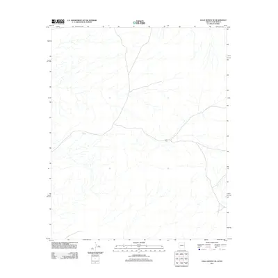
2011 Map of Valle Bonito NE
USGS Topo · Published 2011About this map
Lynch Ranch serves as a primary marker of human activity within this high-desert landscape in eastern Apache County. The terrain is defined by a dendritic network of ephemeral drainages that flow generally westward from the New Mexico state line. These dry washes converge across the high plains, eventually reaching the area around Pine Springs. The cartography illustrates a transition from the structured ranching properties of the 20th century into the newer subdivisions of Woodland Valley Ranch. By the early 21st century, the sparsely populated region remains focused on large-acreage land use, with only a few improved roads connecting these isolated landmarks to the broader Arizona and New Mexico borderlands.
Find a feature on this map
2 named features on this map. Tap any name to fly to it.
Don’t see what you’re looking for? This feature index may not catch every label — zoom into the map to look around manually.
Map Details
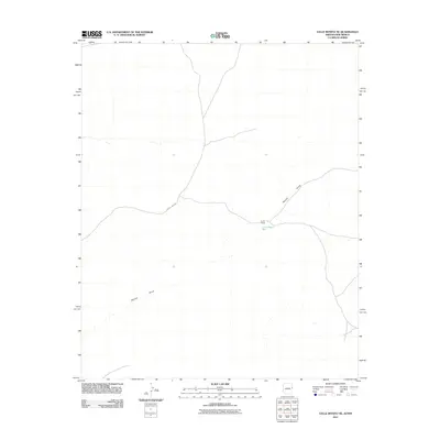
Editions of this 2011 Valle Bonito NE Map
2 editions found
Other maps of this area

1886 · St Johns
USGS Topo · 1:250,000

1892 · St Johns
USGS Topo · 1:250,000

1954 · Saint Johns
USGS Topo · 1:250,000

1957 · Saint Johns
USGS Topo · 1:250,000

1958 · Saint Johns
USGS Topo · 1:250,000

1962 · Saint Johns
USGS Topo · 1:250,000

1972 · Twentytwo Spring
USGS Topo · 1:24,000

1972 · Cantaralo Spring
USGS Topo · 1:24,000
1972 · Venadito Camp
USGS Topo · 1:24,000
1977 · Ceadro Spring
USGS Topo · 1:24,000