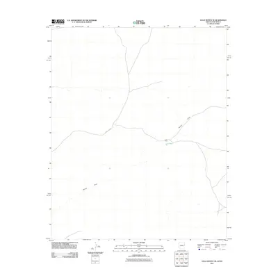
2011 Map of Valle Bonito NE
USGS Topo · Published 2011About this map
Lynch Ranch serves as a primary point of human settlement on this high-desert landscape situated along the Arizona-New Mexico border. The terrain is defined by the ephemeral passage of water through the Aguaje Draw, which meanders across the quadrangle, reflecting the critical reliance on seasonal drainage in this arid region. Infrastructure is minimal, represented by the presence of County Rd-6268 and the essential Lynch Water Well, illustrating the sparse but deliberate distribution of resources required for ranching. This 2011 survey captures the quiet isolation of the borderlands where development is dictated by topography and water access.
Find a feature on this map
4 named features on this map. Tap any name to fly to it.
Don’t see what you’re looking for? This feature index may not catch every label — zoom into the map to look around manually.
Map Details
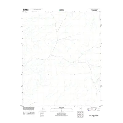
Editions of this 2011 Valle Bonito NE Map
2 editions found
Other maps of this area

1886 · St Johns
USGS Topo · 1:250,000

1892 · St Johns
USGS Topo · 1:250,000

1954 · Saint Johns
USGS Topo · 1:250,000

1957 · Saint Johns
USGS Topo · 1:250,000

1958 · Saint Johns
USGS Topo · 1:250,000

1962 · Saint Johns
USGS Topo · 1:250,000

1972 · Twentytwo Spring
USGS Topo · 1:24,000

1972 · Cantaralo Spring
USGS Topo · 1:24,000
1972 · Venadito Camp
USGS Topo · 1:24,000
1977 · Ceadro Spring
USGS Topo · 1:24,000