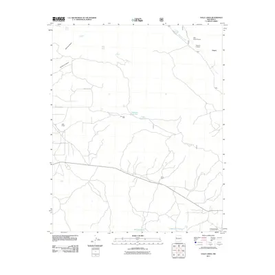
2011 Map of Valle Largo
USGS Topo · Published 2011About this map
Agua Fria Creek winds through the high desert landscape of western New Mexico, anchoring a network of canyons and springs that have sustained ranching and settlement for generations. The settlement of Aragon sits along the northern edge of the sheet, while the namesake Valle Largo valley floor and Valle Largo Cabin occupy the western interior. The presence of numerous water sources, including Alamosa Spring, Mule Spring, and Aragon Spring, alongside the Temporary Stock Tank and Largo Stock Tank, highlights the critical importance of water management in this arid environment.
Find a feature on this map
26 named features on this map. Tap any name to fly to it.
Don’t see what you’re looking for? This feature index may not catch every label — zoom into the map to look around manually.
Map Details
Editions of this 2011 Valle Largo Map
This is the sole edition of this map. No revisions or reprints were ever made.
Other maps of this area

1886 · Wingate
USGS Topo · 1:250,000

1892 · Wingate
USGS Topo · 1:250,000

1951 · Mt Sedgwick
USGS Topo · 1:24,000

1952 · Valle Largo
USGS Topo · 1:24,000

1952 · Post Office Flat
USGS Topo · 1:24,000

1952 · Paxton Springs
USGS Topo · 1:24,000

1954 · Saint Johns
USGS Topo · 1:250,000

1954 · Gallup
USGS Topo · 1:250,000

1957 · Saint Johns
USGS Topo · 1:250,000

1958 · Gallup
USGS Topo · 1:250,000