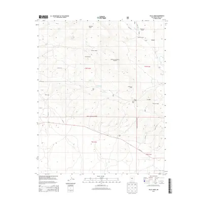
2013 Map of Valle Largo
USGS Topo · Published 2013About this map
Zuñi Mountains terrain and the high-elevation pastures of the Cibola National Forest define this corner of New Mexico. The landscape is marked by the Continental Divide and a network of drainages including Wild Horse Canyon, Hausner Canyon, and Winslow Canyon. Human presence is concentrated near the settlement of Aragon, with isolated outposts like the Valle Largo Cabin and Aragon Ranch indicating the area's ranching history.
Find a feature on this map
38 named features on this map. Tap any name to fly to it.
Don’t see what you’re looking for? This feature index may not catch every label — zoom into the map to look around manually.
Map Details
Editions of this 2013 Valle Largo Map
This is the sole edition of this map. No revisions or reprints were ever made.
Other maps of this area

1886 · Wingate
USGS Topo · 1:250,000

1892 · Wingate
USGS Topo · 1:250,000

1951 · Mt Sedgwick
USGS Topo · 1:24,000

1952 · Valle Largo
USGS Topo · 1:24,000

1952 · Post Office Flat
USGS Topo · 1:24,000

1952 · Paxton Springs
USGS Topo · 1:24,000

1954 · Saint Johns
USGS Topo · 1:250,000

1954 · Gallup
USGS Topo · 1:250,000

1957 · Saint Johns
USGS Topo · 1:250,000

1958 · Gallup
USGS Topo · 1:250,000