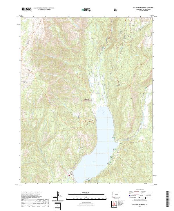
2022 Map of Vallecito Reservoir
USGS Topo · Published 2022About this map
Vallecito Reservoir dominates this portion of the San Juan National Forest, serving as a central catchment for the Los Pinos River and numerous high-country tributaries. The settlement of Vallecito sits at the southern edge of the water, where Cty Rd 501 provides access to the western shoreline. The landscape is characterized by high, flat-topped mesas and parks, including Endlich Mesa and Runlett Park, which are accessible via an extensive network of specialized paths like the Endlich Mesa Trl and Vallecito Horse Route 1. The drainage patterns here are intricate, with narrow canyons such as Dark Canyon and Blind Canyon cutting through the terrain. This map captures the modern recreational and water-management footprint of the region, illustrating how timber and water resources continue to shape the geography of the southwestern Colorado high country.
Find a feature on this map
61 named features on this map. Tap any name to fly to it.
Don’t see what you’re looking for? This feature index may not catch every label — zoom into the map to look around manually.
Map Details
Editions of this 2022 Vallecito Reservoir Map
This is the sole edition of this map. No revisions or reprints were ever made.
Other maps of this area

1900 · Needle Mountains
USGS Topo · 1:62,500

1902 · Needle Mountains
USGS Topo · 1:62,500

1905 · San Cristobal
USGS Topo · 1:125,000

1907 · San Cristobal
USGS Topo · 1:125,000

1908 · Ignacio
USGS Topo · 1:125,000

1924 · Ignacio
USGS Topo · 1:125,000

1924 · Pagosa Springs
USGS Topo · 1:125,000

1927 · Pagosa Springs
USGS Topo · 1:125,000

1945 · Durango
USGS Topo · 1:250,000

1953 · Durango
USGS Topo · 1:250,000