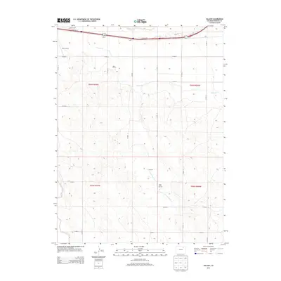
2013 Map of Vallery
USGS Topo · Published 2013About this map
Vallery and Griffin sit at the northern edge of this Morgan County landscape, where the agricultural infrastructure of the eastern plains meets industrial energy development. The presence of the Valley Oil Field and the Ashley Oil and Gas Field indicates the subsurface importance of this region, while the Bijou Canal and Sand Arroyo Creek manage the essential water resources for the surrounding prairie. Transportation and aviation facilities are concentrated near the northern border, including Kent Airport and Vallery Airport, serving a low-density rural community organized along a strict grid of county roads. The terrain is marked by the winding path of Bijou Creek and a network of arterial routes like Co Road R and N Frontage Rd, supporting both local transit and regional movement through the high plains.
Find a feature on this map
31 named features on this map. Tap any name to fly to it.
Don’t see what you’re looking for? This feature index may not catch every label — zoom into the map to look around manually.
Map Details
Editions of this 2013 Vallery Map
This is the sole edition of this map. No revisions or reprints were ever made.
Other maps of this area

1950 · Wiggins
USGS Topo · 1:24,000

1950 · Hoyt
USGS Topo · 1:24,000

1951 · Hoyt
USGS Topo · 1:24,000

1951 · Weldona
USGS Topo · 1:24,000

1951 · Orchard
USGS Topo · 1:24,000

1951 · Fort Morgan
USGS Topo · 1:24,000

1954 · Sterling
USGS Topo · 1:250,000

1954 · Greeley
USGS Topo · 1:250,000

1957 · Greeley
USGS Topo · 1:250,000

1958 · Greeley
USGS Topo · 1:250,000