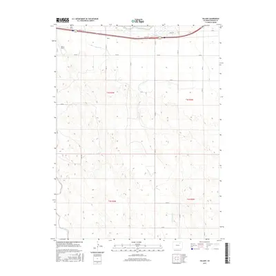
2016 Map of Vallery
USGS Topo · Published 2016About this map
The settlement of Vallery lies along the northern edge of this Morgan County landscape, positioned between the high-speed transit of the interstate corridor and the historical waters of Bijou Creek. The map documents a highly structured rural environment, where the section lines of the Public Land Survey System dictate a rigid grid of local routes like Co Rd 12 and Mcr 10. This intersection of infrastructure is highlighted by the presence of small aviation facilities, specifically Kent Airport and Vallery Airport, reflecting the importance of private flight in the expansive plains of Eastern Colorado. Beyond the modern roadways, the natural drainage patterns of Sand Arroyo Cr and the engineered flow of the Bijou Canal illustrate the long-standing management of water resources in this arid agricultural region.
Find a feature on this map
25 named features on this map. Tap any name to fly to it.
Don’t see what you’re looking for? This feature index may not catch every label — zoom into the map to look around manually.
Map Details
Editions of this 2016 Vallery Map
This is the sole edition of this map. No revisions or reprints were ever made.
Other maps of this area

1950 · Wiggins
USGS Topo · 1:24,000

1950 · Hoyt
USGS Topo · 1:24,000

1951 · Hoyt
USGS Topo · 1:24,000

1951 · Weldona
USGS Topo · 1:24,000

1951 · Orchard
USGS Topo · 1:24,000

1951 · Fort Morgan
USGS Topo · 1:24,000

1954 · Sterling
USGS Topo · 1:250,000

1954 · Greeley
USGS Topo · 1:250,000

1957 · Greeley
USGS Topo · 1:250,000

1958 · Greeley
USGS Topo · 1:250,000