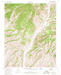
1948 Map of Valleton
USGS Topo · Published 1968About this map
Indian Valley and the surrounding drainage basins dominate this late-1940s landscape in Monterey County, illustrating a rural California terrain defined by its sharp topography and seasonal watercourses. The small settlement of Valleton sits along the banks of Big Sandy Creek, serving as a focal point for the valley before the landscape rises into complex canyon systems like Portuguese Canyon and Deer Canyon.
Find a feature on this map
9 named features on this map. Tap any name to fly to it.
Don’t see what you’re looking for? This feature index may not catch every label — zoom into the map to look around manually.
Map Details
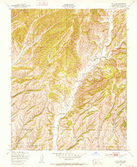
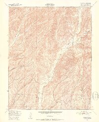
Editions of this 1948 Valleton Map
4 editions found

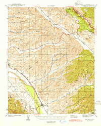
Other maps of this area

1915 · Priest Valley
USGS Topo · 1:125,000

1919 · San Miguel
USGS Topo · 1:62,500

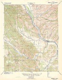
1919 · Bradley
USGS Topo · 1:62,500

1941 · Priest Valley
USGS Topo · 1:62,500
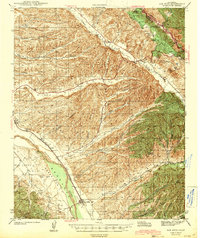
1941 · San Ardo
USGS Topo · 1:62,500
1941 · Bradley
USGS Topo · 1:62,500
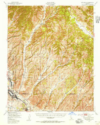
1943 · San Ardo
USGS Topo · 1:62,500

1944 · Priest Valley
USGS Topo · 1:62,500

1947 · San Luis Obispo
USGS Topo · 1:250,000
1947 · San Miguel
USGS Topo · 1:62,500