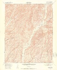
1948 Map of Valleton
USGS Topo · Published 1952About this map
Indian Valley serves as the central artery of this topographic study, where the seasonal flows of Big Sandy Creek and Sandy Creek cut through a complex system of drainage basins. The settlement of Valleton is situated along these creek beds, showing the historic footprint of ranching and agriculture in Monterey County shortly after World War II. The southern portion of the map is dominated by the Camp Roberts Military Reservation, highlighting the significant presence of the Department of the Army in this region. The landscape is characterized by a series of steep, named canyons such as Walker Canyon, Deer Canyon, and Portuguese Canyon, which illustrate the natural barriers that shaped local transport and property boundaries. Benchmarks like BM 1232 and BM 1001 provide precise elevation data for surveyors and historians tracing the physical evolution of the Cañada Montuosa and surrounding ridges.
Find a feature on this map
18 named features on this map. Tap any name to fly to it.
Don’t see what you’re looking for? This feature index may not catch every label — zoom into the map to look around manually.
Map Details
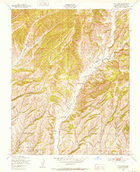
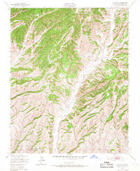
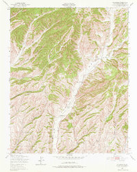
Editions of this 1948 Valleton Map
4 editions found
Other maps of this area

1915 · Priest Valley
USGS Topo · 1:125,000

1919 · San Miguel
USGS Topo · 1:62,500

1919 · Bradley
USGS Topo · 1:62,500

1941 · Priest Valley
USGS Topo · 1:62,500

1941 · San Ardo
USGS Topo · 1:62,500

1941 · Bradley
USGS Topo · 1:62,500

1943 · San Ardo
USGS Topo · 1:62,500

1944 · Priest Valley
USGS Topo · 1:62,500

1947 · San Luis Obispo
USGS Topo · 1:250,000

1947 · San Miguel
USGS Topo · 1:62,500