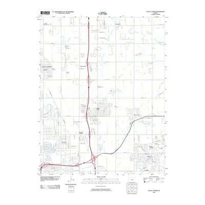
2009 Map of Valley Center
USGS Topo · Published 2009About this map
The Little Arkansas River winds through the western edge of this Sedgwick County landscape, defining a suburban and agricultural transition zone north of Wichita. The map highlights the rapid growth of communities like Park City and Valley Center, where residential grids interface with a complex network of regional transport, including multiple airfields such as Miles Airport and Harrison Landing Field. Central to the area’s local history are several established burial grounds, notably Kechi Cemetery and Park Cemetery, which serve as permanent markers of the region's early settlement.
Find a feature on this map
103 named features on this map. Tap any name to fly to it.
Don’t see what you’re looking for? This feature index may not catch every label — zoom into the map to look around manually.
Map Details
Editions of this 2009 Valley Center Map
This is the sole edition of this map. No revisions or reprints were ever made.
Other maps of this area

1889 · Wichita
USGS Topo · 1:125,000

1894 · Wichita
USGS Topo · 1:125,000

1941 · Maize
USGS Topo · 1:31,680

1941 · Valley Center
USGS Topo · 1:31,680

1942 · Valley Center
USGS Topo · 1:31,680

1942 · Maize
USGS Topo · 1:31,680

1943 · Wichita West
USGS Topo · 1:31,680

1943 · Wichita East
USGS Topo · 1:31,680

1945 · Andover
USGS Topo · 1:31,680

1955 · Greenwich
USGS Topo · 1:24,000