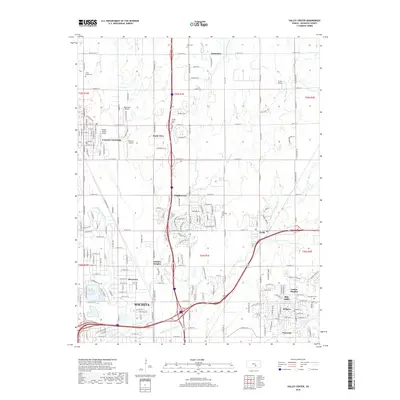
2018 Map of Valley Center
USGS Topo · Published 2018About this map
The Little Arkansas River meanders through the western reaches of this Sedgwick County landscape, defining a suburban and agricultural transition zone just north of Wichita. The area is characterized by a dense network of small local airfields, including High Point Airport, Berwick Airport, and Hidden Valley Airport, reflecting the region's deep-rooted aviation identity. Residential growth is evident in established communities like Valley Center, Park City, and Bel Aire, while numerous smaller settlements such as Sunnydale, Keechi, and Arthur Heights are connected by a precise grid of county roads. Genealogists will find several burial grounds documented across the townships, from the Valley Center Cem in the northwest to Ascension Cem in the east near Bellaire. The drainage of Chisholm Cr and its various forks provides the primary relief in an otherwise level terrain shaped by section-line development.
Find a feature on this map
65 named features on this map. Tap any name to fly to it.
Don’t see what you’re looking for? This feature index may not catch every label — zoom into the map to look around manually.
Map Details
Editions of this 2018 Valley Center Map
This is the sole edition of this map. No revisions or reprints were ever made.
Other maps of this area

1889 · Wichita
USGS Topo · 1:125,000

1894 · Wichita
USGS Topo · 1:125,000

1941 · Maize
USGS Topo · 1:31,680

1941 · Valley Center
USGS Topo · 1:31,680

1942 · Valley Center
USGS Topo · 1:31,680

1942 · Maize
USGS Topo · 1:31,680

1943 · Wichita West
USGS Topo · 1:31,680

1943 · Wichita East
USGS Topo · 1:31,680

1945 · Andover
USGS Topo · 1:31,680

1955 · Greenwich
USGS Topo · 1:24,000