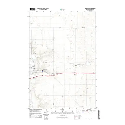
2014 Map of Valley City East
USGS Topo · Published 2014About this map
Valley City anchors the western edge of this Barnes County landscape, where the Sheyenne River snakes through the valley floor. The map captures the city's eastern expansion and the critical transportation corridors that define modern transit in the region, including the East Valley City Interchange and Peak Interchange. In the higher ground to the east, the small settlement of Peak sits along the rail line, surrounded by a grid of rural section roads and rolling agricultural terrain. Several local burial sites are documented here, providing important genealogical markers for the area, including Hillside Cem, Saint Catherines Cem, and Memory Gardens Cem near the highway, as well as Prairie Rest Cem further south. The transition from the urban streets of North Valley City to the wide-open prairie illustrates the stark geographic shift typical of eastern North Dakota's river valleys.
Find a feature on this map
30 named features on this map. Tap any name to fly to it.
Don’t see what you’re looking for? This feature index may not catch every label — zoom into the map to look around manually.
Map Details
Editions of this 2014 Valley City East Map
This is the sole edition of this map. No revisions or reprints were ever made.
Other maps of this area

1897 · Tower
USGS Topo · 1:125,000

1897 · Eckelson
USGS Topo · 1:125,000

1952 · Grand Forks
USGS Topo · 1:250,000

1952 · New Rockford
USGS Topo · 1:250,000

1953 · Jamestown
USGS Topo · 1:250,000

1953 · Fargo
USGS Topo · 1:250,000

1956 · New Rockford
USGS Topo · 1:250,000

1956 · Fargo
USGS Topo · 1:250,000

1956 · Jamestown
USGS Topo · 1:250,000

1956 · Grand Forks
USGS Topo · 1:250,000