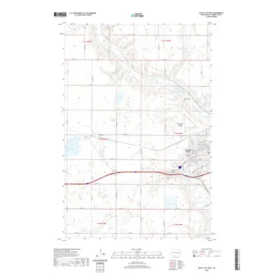
2020 Map of Valley City West
USGS Topo · Published 2020About this map
Valley City anchors the southeastern corner of this study, where the Sheyenne River carves a winding path through the North Dakota plains. The map reveals the intricate residential street grid of the city, including thoroughfares like W Main St and Viking Dr, while the Barnes County Municipal Airport sits just to the northwest. Historical and genealogical interest is found at the Maryvale Convent Cem and Woodbine Cem, which serve as quiet markers of the community's heritage.
Find a feature on this map
37 named features on this map. Tap any name to fly to it.
Don’t see what you’re looking for? This feature index may not catch every label — zoom into the map to look around manually.
Map Details
Editions of this 2020 Valley City West Map
This is the sole edition of this map. No revisions or reprints were ever made.
Other maps of this area

1897 · Tower
USGS Topo · 1:125,000

1897 · Eckelson
USGS Topo · 1:125,000

1952 · Grand Forks
USGS Topo · 1:250,000

1952 · New Rockford
USGS Topo · 1:250,000

1953 · Jamestown
USGS Topo · 1:250,000

1953 · Fargo
USGS Topo · 1:250,000

1956 · New Rockford
USGS Topo · 1:250,000

1956 · Fargo
USGS Topo · 1:250,000

1956 · Jamestown
USGS Topo · 1:250,000

1956 · Grand Forks
USGS Topo · 1:250,000