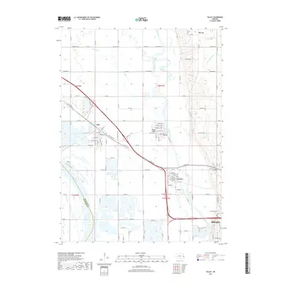
2017 Map of Valley
USGS Topo · Published 2017About this map
The Elkhorn River and Platte River converge in this western Douglas County landscape, creating a rich network of waterways and sandpit lakes that define the region's character. The established communities of Valley and Waterloo sit within this alluvial plain, joined by smaller settlements like King Lake and Elk City. The area is notably dense with residential and recreational water bodies, including Lake Taormina, Lake Claqus, and the Riverside Lakes complex, which reflect the modern hydrological transformation of the river valley.
Find a feature on this map
116 named features on this map. Tap any name to fly to it.
Don’t see what you’re looking for? This feature index may not catch every label — zoom into the map to look around manually.
Map Details
Editions of this 2017 Valley Map
This is the sole edition of this map. No revisions or reprints were ever made.
Other maps of this area

1893 · Fremont
USGS Topo · 1:125,000

1896 · Fremont
USGS Topo · 1:125,000

1955 · Fremont
USGS Topo · 1:250,000

1956 · Gretna
USGS Topo · 1:24,000

1957 · Fremont
USGS Topo · 1:250,000

1958 · Fremont
USGS Topo · 1:250,000

1968 · Valley
USGS Topo · 1:24,000

1968 · Leshara
USGS Topo · 1:24,000

1968 · Fremont East
USGS Topo · 1:24,000

1968 · Kennard
USGS Topo · 1:24,000