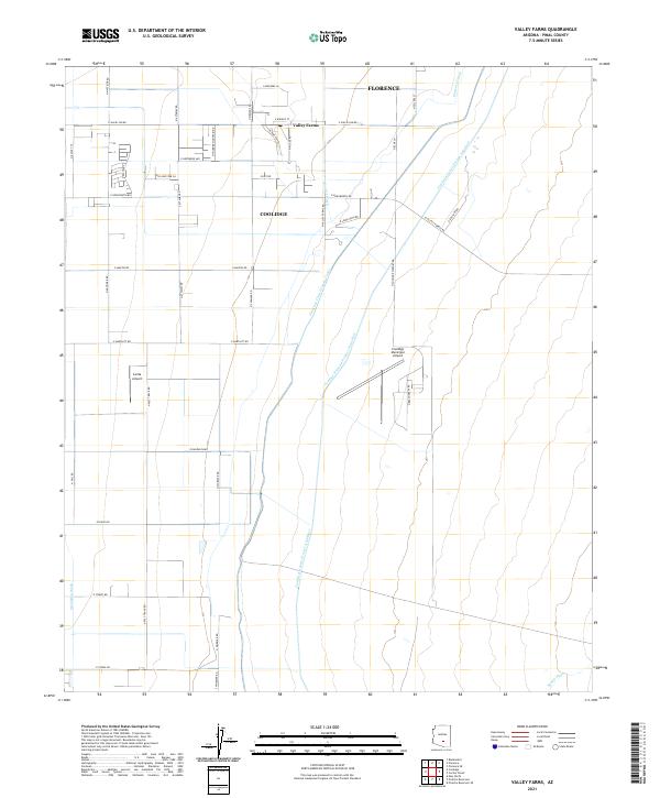
2021 Map of Valley Farms
USGS Topo · Published 2021About this map
Agricultural and aviation infrastructure define this Pinal County landscape, where the settlement of Valley Farms sits at the nexus of a complex water management system. The area is heavily defined by the massive transit of water via the Central Arizona Project Aqueduct, which cuts diagonally across the desert alongside the Florence Casa Grande Canal and the older Florence Canal. These man-made arteries support the surrounding rural tracts near Coolidge and the outskirts of Florence.
Find a feature on this map
49 named features on this map. Tap any name to fly to it.
Don’t see what you’re looking for? This feature index may not catch every label — zoom into the map to look around manually.
Map Details
Editions of this 2021 Valley Farms Map
This is the sole edition of this map. No revisions or reprints were ever made.
Other maps of this area

1900 · Florence
USGS Topo · 1:125,000

1902 · Florence
USGS Topo · 1:125,000

1907 · Sacaton
USGS Topo · 1:62,500

1922 · Red Rock No 2
USGS Topo · 1:48,000

1922 · Signal Peak
USGS Topo · 1:62,500

1924 · Signal Peak
USGS Topo · 1:62,500

1934 · Newman Peak
USGS Topo · 1:125,000

1954 · Mesa
USGS Topo · 1:250,000

1956 · Tucson
USGS Topo · 1:250,000

1957 · Mesa
USGS Topo · 1:250,000