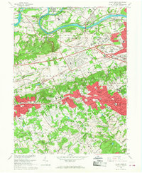
1966 Map of Valley Forge
USGS Topo · Published 1968About this map
Valley Forge State Park occupies the northern heart of this landscape, preserving the geography of the American Revolution along the Schuylkill River. The map meticulously details commemorative sites such as Washingtons Headquarters, the Memorial Arch, and the Star Redoubt perched above the Valley Creek. Beyond the park boundaries, the mid-1960s suburban expansion is evident, particularly around the Valley Forge Interchange 24 where the Pennsylvania Turnpike meets the Schuylkill Expressway at King of Prussia. This era shows a transition from rural crossroads like Brittains Corner and Howellville to dense residential clusters in Wayne, Paoli, and Devon. The southern portion of the map traces the early development of the Main Line, anchored by longstanding institutions like St Davids Ch and Aronimink Golf Club, illustrating the intersection of colonial history and modern transportation corridors.
Find a feature on this map
89 named features on this map. Tap any name to fly to it.
Don’t see what you’re looking for? This feature index may not catch every label — zoom into the map to look around manually.
Map Details
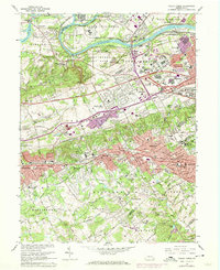
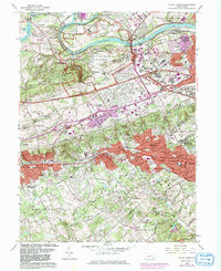
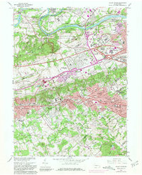
Editions of this 1966 Valley Forge Map
4 editions found
Other maps of this area

1894 · Chester
USGS Topo · 1:62,500

1894 · Norristown
USGS Topo · 1:62,500

1895 · Norristown
USGS Topo · 1:62,500

1896 · Norristown
USGS Topo · 1:62,500

1896 · Chester
USGS Topo · 1:62,500

1898 · Chester
USGS Topo · 1:62,500

1901 · Camden
USGS Topo · 1:125,000

1901 · West Chester
USGS Topo · 1:62,500

1904 · West Chester
USGS Topo · 1:62,500

1906 · Phoenixville
USGS Topo · 1:62,500
Featured Places
- Radnor Township, PA
- King of Prussia, Upper Merion Township
- Willistown Township, PA
- Charlestown Township, PA
- Chesterbrook, Tredyffrin Township