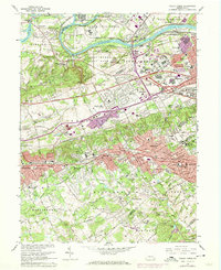
1966 Map of Valley Forge
USGS Topo · Published 1974About this map
Valley Forge State Park anchors this landscape at a time of significant suburban transition, preserving the grounds of Washingtons Headquarters and the Star Redoubt even as the surrounding area modernizes. The mid-century expansion of the Pennsylvania Turnpike and Schuylkill Expressway cuts through the historic corridors of Tredyffrin and Upper Merion, marking the shift from agricultural valleys to a major regional transit hub at King of Prussia. Along the Schuylkill River, the industrial and transit heritage of the Reading Railroad and Penn Central Railroad remains visible, connecting older settlements like Port Kennedy and Betzwood. To the south, the established residential clusters of Wayne, Paoli, and Berwyn show their dense mid-century footprints, while local landmarks like Great Valley Mills and St Davids Church provide continuity with the region's deep colonial and early industrial roots.
Find a feature on this map
99 named features on this map. Tap any name to fly to it.
Don’t see what you’re looking for? This feature index may not catch every label — zoom into the map to look around manually.
Map Details
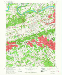
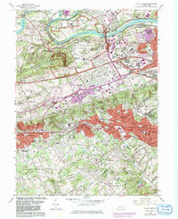
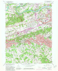
Editions of this 1966 Valley Forge Map
4 editions found
Other maps of this area

1894 · Chester
USGS Topo · 1:62,500

1894 · Norristown
USGS Topo · 1:62,500

1895 · Norristown
USGS Topo · 1:62,500

1896 · Norristown
USGS Topo · 1:62,500

1896 · Chester
USGS Topo · 1:62,500

1898 · Chester
USGS Topo · 1:62,500

1901 · Camden
USGS Topo · 1:125,000

1901 · West Chester
USGS Topo · 1:62,500

1904 · West Chester
USGS Topo · 1:62,500

1906 · Phoenixville
USGS Topo · 1:62,500
Featured Places
- Radnor Township, PA
- King of Prussia, Upper Merion Township
- Willistown Township, PA
- Charlestown Township, PA
- Chesterbrook, Tredyffrin Township