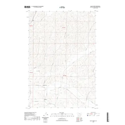
2020 Map of Valley Grove
USGS Topo · Published 2020About this map
Valley Grove and the surrounding agricultural landscape of Walla Walla County are defined by a network of rural roads and the meandering path of Dry Cr. This region of Washington, situated near the transition of several township and range lines, features small settlements like Spring Valley and Russell that serve as nodes in the local transport network. The map reveals a high density of named country roads, such as Russell Springs Rd and Bergevin Springs Rd, which often indicate the historic importance of local springs and family holdings in this part of the state. Further north, the settlement of Ennis sits near Brown Rd, illustrating the dispersed but organized settlement pattern of the early 21st century. The terrain is marked by intricate contour lines that follow the drainage patterns toward the larger valley floor.
Find a feature on this map
22 named features on this map. Tap any name to fly to it.
Don’t see what you’re looking for? This feature index may not catch every label — zoom into the map to look around manually.
Map Details
Editions of this 2020 Valley Grove Map
This is the sole edition of this map. No revisions or reprints were ever made.
Other maps of this area

1919 · Walla Walla
USGS Topo · 1:125,000

1921 · Walla Walla
USGS Topo · 1:125,000

1953 · Walla Walla
USGS Topo · 1:250,000

1958 · Walla Walla
USGS Topo · 1:250,000

1966 · Dixie
USGS Topo · 1:24,000
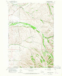
1966 · Buroker
USGS Topo · 1:24,000

1966 · Hadley
USGS Topo · 1:24,000

1966 · Valley Grove
USGS Topo · 1:24,000
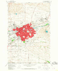
1966 · Walla Walla
USGS Topo · 1:24,000
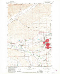
1966 · College Place
USGS Topo · 1:24,000