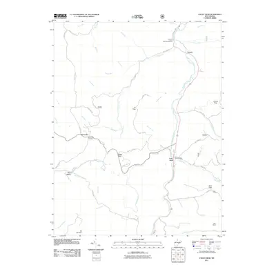
2011 Map of Valley Head
USGS Topo · Published 2011About this map
The Tygart Valley River carves a central path through this section of Randolph County, serving as the primary corridor for settlements like Valley Head and Spangler. The landscape is defined by its significant relief, rising from the river valley toward the prominent heights of Elk Mountain and Rich Knob. This terrain has historically dictated the movement of goods and people, with mountain gaps like Rough Gap Run and ridges such as Dry Ridge framing the local geography.
Find a feature on this map
49 named features on this map. Tap any name to fly to it.
Don’t see what you’re looking for? This feature index may not catch every label — zoom into the map to look around manually.
Map Details
Editions of this 2011 Valley Head Map
This is the sole edition of this map. No revisions or reprints were ever made.
Other maps of this area

1889 · Beverly
USGS Topo · 1:125,000

1891 · Huntersville
USGS Topo · 1:125,000

1892 · Beverly
USGS Topo · 1:125,000

1893 · Buckhannon
USGS Topo · 1:125,000

1894 · Huntersville
USGS Topo · 1:125,000

1896 · Buckhannon
USGS Topo · 1:125,000

1897 · Buckhannon
USGS Topo · 1:125,000

1901 · Monterey
USGS Topo · 1:125,000

1913 · Pickens
USGS Topo · 1:48,000

1915 · Pickens
USGS Topo · 1:62,500