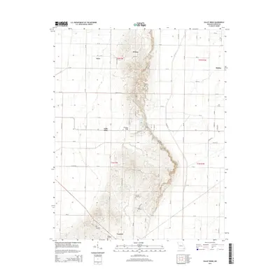
2015 Map of Valley Ridge
USGS Topo · Published 2015About this map
Crowleys Ridge rises as a distinct geological spine through the center of this Missouri landscape, creating a dramatic contrast to the low-lying agricultural plains of the Mississippi Embayment. This elevated landform anchors several small communities, including Bethany, Valley Ridge, and Campbell, where the terrain begins to flatten toward the south. The area is marked by a high density of rural burial sites, such as Vincent Cemetery, Snider Cemetery, and Four Mile Cemetery, which often suggest the locations of earlier pioneer church sites and family homesteads.
Find a feature on this map
48 named features on this map. Tap any name to fly to it.
Don’t see what you’re looking for? This feature index may not catch every label — zoom into the map to look around manually.
Map Details
Editions of this 2015 Valley Ridge Map
This is the sole edition of this map. No revisions or reprints were ever made.
Other maps of this area

1940 · Malden
USGS Topo · 1:62,500

1940 · Pascola
USGS Topo · 1:62,500

1940 · Valley Ridge
USGS Topo · 1:62,500

1940 · Piggott
USGS Topo · 1:62,500

1955 · Pascola
USGS Topo · 1:62,500

1956 · Valley Ridge
USGS Topo · 1:62,500

1956 · Piggott
USGS Topo · 1:62,500

1956 · Malden
USGS Topo · 1:62,500

1956 · Dyersburg
USGS Topo · 1:250,000

1957 · Poplar Bluff
USGS Topo · 1:250,000