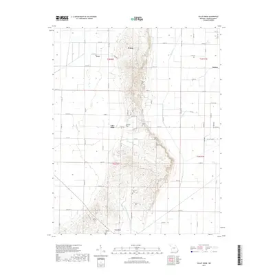
2017 Map of Valley Ridge
USGS Topo · Published 2017About this map
Crowleys Ridge rises from the lowlands of Dunklin County, Missouri, providing a distinct topographic break in an otherwise level agricultural landscape. This geographic feature anchors a string of small settlements and community landmarks, including Bethany, Valley Ridge, and Brian. The ridge is notable for its concentration of family and community burial grounds, such as Snider Cem, Elder Cem, and Tucker Cem, which often occupy the higher ground above the drainage network of Main Ditch and Lateral Number 1. At the southern edge of the survey, the city of Campbell marks a transition point where the ridge meets the surrounding plain. The map detail highlights a complex system of drainage and local transport, characterized by Poplar Br Lateral Ditch Number 16 and numerous county roads that navigate the ridge's unique elevation.
Find a feature on this map
45 named features on this map. Tap any name to fly to it.
Don’t see what you’re looking for? This feature index may not catch every label — zoom into the map to look around manually.
Map Details
Editions of this 2017 Valley Ridge Map
This is the sole edition of this map. No revisions or reprints were ever made.
Other maps of this area

1940 · Malden
USGS Topo · 1:62,500

1940 · Pascola
USGS Topo · 1:62,500

1940 · Valley Ridge
USGS Topo · 1:62,500

1940 · Piggott
USGS Topo · 1:62,500

1955 · Pascola
USGS Topo · 1:62,500

1956 · Valley Ridge
USGS Topo · 1:62,500

1956 · Piggott
USGS Topo · 1:62,500

1956 · Malden
USGS Topo · 1:62,500

1956 · Dyersburg
USGS Topo · 1:250,000

1957 · Poplar Bluff
USGS Topo · 1:250,000