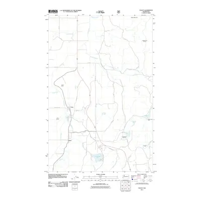
2011 Map of Valley
USGS Topo · Published 2011About this map
The Colville River meanders through the central valley floor of this region in Stevens County, anchoring the small settlements of Valley and Kulzer. This portion of northeastern Washington shows a landscape defined by its glacial history and drainage patterns, with significant water bodies including Jumpoff Joe Lake and Jumpoff Jim Lake situated in the southern reaches. The presence of the Blue Bird Mine in the southeast suggests the area's ongoing or historical ties to the mineral extraction industry that shaped much of the regional economy.
Find a feature on this map
40 named features on this map. Tap any name to fly to it.
Don’t see what you’re looking for? This feature index may not catch every label — zoom into the map to look around manually.
Map Details
Editions of this 2011 Valley Map
This is the sole edition of this map. No revisions or reprints were ever made.
Other maps of this area
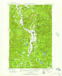
1927 · Chewelah
USGS Topo · 1:125,000
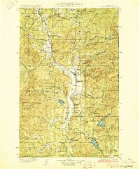
1930 · Chewelah
USGS Topo · 1:125,000
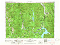
1958 · Sandpoint
USGS Topo · 1:250,000
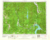
1963 · Sandpoint
USGS Topo · 1:250,000
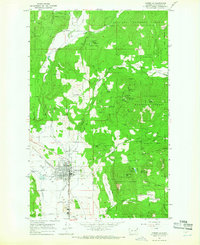
1964 · Chewelah
USGS Topo · 1:24,000
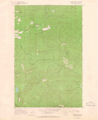
1964 · Goddards Peak
USGS Topo · 1:24,000
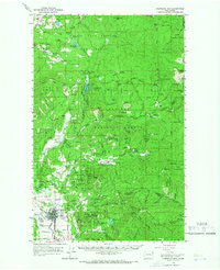
1964 · Chewelah Mtn
USGS Topo · 1:62,500
1965 · Waitts Lake
USGS Topo · 1:24,000
1965 · Addy
USGS Topo · 1:24,000
1965 · Forest Center
USGS Topo · 1:24,000