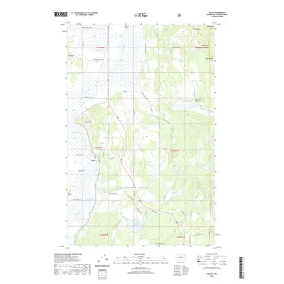
2020 Map of Valley
USGS Topo · Published 2020About this map
The settlement of Valley sits within a wide, marshy corridor shaped by the Colville River, where a network of rural roads such as Farm to Market Loop Rd and N Valley Station Rd connect the valley floor to the surrounding highlands. This 2020 landscape illustrates the transition from the fertile lowlands of Fool Prairie to the timbered slopes of the Colville National Forest. The map is particularly detailed in its depiction of the water systems, showing how Cottonwood Creek and Jumpoff Joe Creek feed into numerous local basins. Distinctive landmarks like Wrights Mountain and Jumpoff Joe Mountain frame the horizon, while smaller bodies of water like Waits Lake, Jumpoff Joe Lake, and Bailey Lake highlight the area's glacial topography and provide clear reference points for modern land use and historical property boundaries in Stevens County.
Find a feature on this map
59 named features on this map. Tap any name to fly to it.
Don’t see what you’re looking for? This feature index may not catch every label — zoom into the map to look around manually.
Map Details
Editions of this 2020 Valley Map
This is the sole edition of this map. No revisions or reprints were ever made.
Other maps of this area

1927 · Chewelah
USGS Topo · 1:125,000

1930 · Chewelah
USGS Topo · 1:125,000

1958 · Sandpoint
USGS Topo · 1:250,000

1963 · Sandpoint
USGS Topo · 1:250,000

1964 · Chewelah
USGS Topo · 1:24,000

1964 · Goddards Peak
USGS Topo · 1:24,000

1964 · Chewelah Mtn
USGS Topo · 1:62,500

1965 · Waitts Lake
USGS Topo · 1:24,000
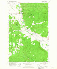
1965 · Addy
USGS Topo · 1:24,000
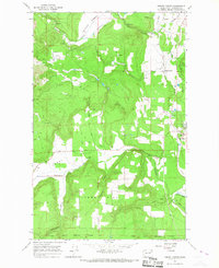
1965 · Forest Center
USGS Topo · 1:24,000