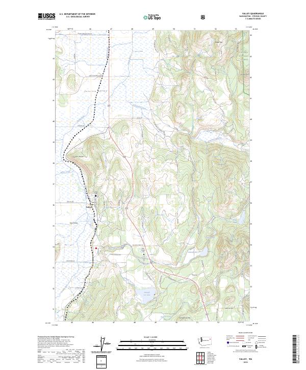
2023 Map of Valley
USGS Topo · Published 2023About this map
Valley serves as a central hub within the Colville Valley landscape, where the Colville River and several major creeks converge. This contemporary survey documents the enduring settlement patterns of Stevens County, anchored by local sites such as the Valley Cem and Saint Josephs Cem. The geography is defined by a series of distinct water bodies including Waitts Lake, Blue Lake, and Jumpoff Joe Lake, which are situated among significant elevations like Parker Mtn and Jumpoff Joe Mtn. The eastern portion of the map transitions into the Colville National Forest, while the lowland areas feature evocative place names like Fool Prairie and Inklers Point. A dense network of local routes, including Farm to Market Loop Rd and N Valley Station Rd, illustrates the continued importance of the agricultural and transit corridor through this section of Washington.
Find a feature on this map
58 named features on this map. Tap any name to fly to it.
Don’t see what you’re looking for? This feature index may not catch every label — zoom into the map to look around manually.
Map Details
Editions of this 2023 Valley Map
This is the sole edition of this map. No revisions or reprints were ever made.
Other maps of this area

1927 · Chewelah
USGS Topo · 1:125,000

1930 · Chewelah
USGS Topo · 1:125,000

1958 · Sandpoint
USGS Topo · 1:250,000

1963 · Sandpoint
USGS Topo · 1:250,000

1964 · Chewelah
USGS Topo · 1:24,000

1964 · Goddards Peak
USGS Topo · 1:24,000

1964 · Chewelah Mtn
USGS Topo · 1:62,500

1965 · Waitts Lake
USGS Topo · 1:24,000
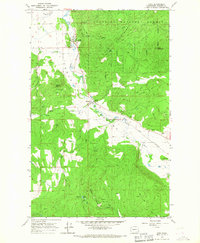
1965 · Addy
USGS Topo · 1:24,000
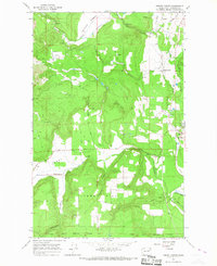
1965 · Forest Center
USGS Topo · 1:24,000