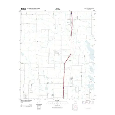
2013 Map of Valley View
USGS Topo · Published 2013About this map
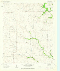
Valley View serves as the primary hub in this North Texas landscape, situated along a busy north-south transport corridor. The terrain is defined by a dense network of creek systems including Spring Cr and Pecan Cr, which drain toward the eastern expansion of Ray Roberts Lake. This 2013 survey illustrates the modern rural-suburban interface of Denton County, where traditional settlements like Lois and Union Hill sit amidst several private aviation facilities, such as Hardy Field Airport and Horseshoe Lake Airport. The western half of the map shows a structured grid of county roads, while the eastern edge is dominated by the irregular shoreline of the reservoir. A significant hydrological pattern emerges from the numerous small branches like Little Indian Cr and Duck Cr that feed into the larger basins, reflecting the importance of water management in this cattle and agricultural region.
Find a feature on this map
116 named features on this map. Tap any name to fly to it.
Don’t see what you’re looking for? This feature index may not catch every label — zoom into the map to look around manually.
Map Details
Editions of this 2013 Valley View Map
This is the sole edition of this map. No revisions or reprints were ever made.
Other maps of this area
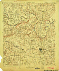
1902 · Gainesville
USGS Topo · 1:125,000
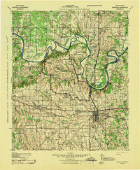
1943 · Gainesville
USGS Topo · 1:125,000

1954 · Sherman
USGS Topo · 1:250,000

1958 · Sherman
USGS Topo · 1:250,000
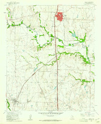
1960 · Sanger
USGS Topo · 1:24,000
1960 · Green Valley
USGS Topo · 1:24,000
1960 · Gainesville South
USGS Topo · 1:24,000
1960 · Woodbine
USGS Topo · 1:24,000
1961 · Era
USGS Topo · 1:24,000
1961 · Era SE
USGS Topo · 1:24,000