2022 Map of Valley View
USGS Topo · Published 2022About this map
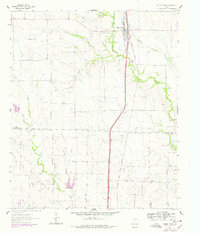
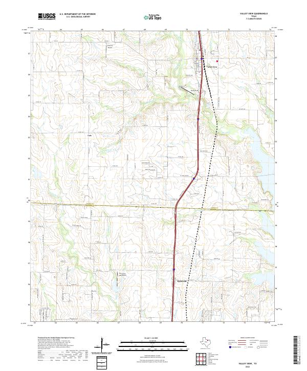
Valley View serves as a primary hub in north-central Texas, situated where the rolling plains meet the drainage networks of the Red River basin. This 2022 survey details the rural landscape surrounding the Interstate 35 corridor, showing the transition between the established community of Sanger and the smaller settlement of Lois. The terrain is defined by its watercourses, including the winding Indian Cr and Pecan Cr, which dictate the placement of local thoroughfares like FM 922 and Co RD 200. The prominence of local aviation is evident through sites like Hardy Field, Flaherty Airport, and Horseshoe Lake Airport, reflecting the region's spread-out nature and reliance on small-scale air transport. The presence of Fossil Ridge south of the Cooke Co and Denton Co line highlights the geologic character of the area, where subtle elevation changes have historically influenced land use and ranching patterns.
Find a feature on this map
104 named features on this map. Tap any name to fly to it.
Don’t see what you’re looking for? This feature index may not catch every label — zoom into the map to look around manually.
Map Details
Editions of this 2022 Valley View Map
This is the sole edition of this map. No revisions or reprints were ever made.