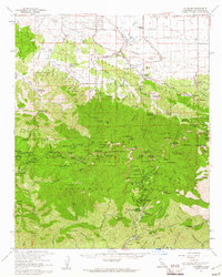
1959 Map of Valyermo
USGS Topo · Published 1961About this map
The San Andreas Rift Zone serves as a stark geological divide on this late 1950s survey, separating the high peaks of the San Gabriel Mountains from the alluvial terrain of Cima Mesa. The map details a landscape defined by seasonal watercourses like Big Rock Creek and specialized mountain infrastructure, including the Crystal Lake Recreation Area and numerous organizational retreats such as Camp Singing Pines and Camp Christian.
Find a feature on this map
110 named features on this map. Tap any name to fly to it.
Don’t see what you’re looking for? This feature index may not catch every label — zoom into the map to look around manually.
Map Details
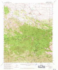
Editions of this 1959 Valyermo Map
2 editions found
Other maps of this area

1894 · Los Angeles
USGS Topo · 1:62,500

1894 · Pomona
USGS Topo · 1:62,500

1896 · Pasadena
USGS Topo · 1:62,500

1897 · Pomona
USGS Topo · 1:62,500

1897 · Cucamonga
USGS Topo · 1:62,500

1898 · Pomona
USGS Topo · 1:62,500

1900 · Pasadena
USGS Topo · 1:62,500

1900 · Tujunga
USGS Topo · 1:62,500

1900 · Los Angeles
USGS Topo · 1:62,500

1900 · Cucamonga
USGS Topo · 1:62,500