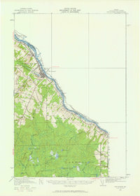
1951 Map of Van Buren
USGS Topo · Published 1960About this map
The St Johns River defines the international boundary between Maine and New Brunswick, serving as the focal point for early 1950s settlement and transport in this border region. Communities like Van Buren and Keegan are clustered along the riverbanks, where the Bangor and Aroostook railroad tracks follow the water's edge to support the local timber and agricultural economy. Just across the water, St Leonard provides a glimpse of the integrated cross-border life of the era.
Find a feature on this map
41 named features on this map. Tap any name to fly to it.
Don’t see what you’re looking for? This feature index may not catch every label — zoom into the map to look around manually.
Map Details
Editions of this 1951 Van Buren Map
5 editions found

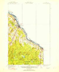
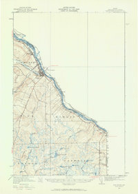
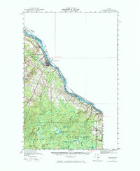
Other maps of this area

1921 · Van Buren
USGS Topo · 1:250,000

1927 · Stockholm
USGS Topo · 1:48,000

1929 · Caribou
USGS Topo · 1:48,000

1930 · Fort Fairfield
USGS Topo · 1:48,000

1931 · Van Buren
USGS Topo · 1:48,000

1931 · Stockholm
USGS Topo · 1:62,500

1932 · Caribou
USGS Topo · 1:62,500

1933 · Fort Fairfield
USGS Topo · 1:62,500

1934 · Van Buren
USGS Topo · 1:62,500

1938 · Grand Isle
USGS Topo · 1:62,500