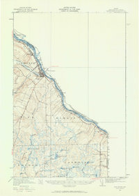
1951 Map of Van Buren
USGS Topo · Published 1960About this map
The St John River defines the international boundary between the United States and Canada in this mid-century survey of northern Aroostook County. The town of Van Buren serves as the primary hub, where the Bangor and Aroostook railroad follows the river's path, connecting the settlements of Keegan and La Septieme. The landscape is dominated by a complex network of wetlands and small lakes in the southern interior, including Big Black Brook Lake, Little Black Brook Lake, and Mud Lake. Local community life is anchored by landmarks such as the St Joseph Ch in Hamlin and the Bernier Sch to the south. Significant terrain features like Reservoir Hill and Doyle Ridge rise above the brook-fed lowlands, while a large US Mil Res occupies the southwestern corner, reflecting the strategic importance of this border region during the early Cold War era.
Find a feature on this map
42 named features on this map. Tap any name to fly to it.
Don’t see what you’re looking for? This feature index may not catch every label — zoom into the map to look around manually.
Map Details
Editions of this 1951 Van Buren Map
5 editions found

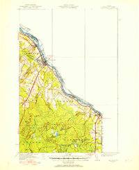
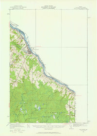
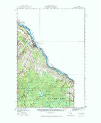
Other maps of this area

1921 · Van Buren
USGS Topo · 1:250,000

1927 · Stockholm
USGS Topo · 1:48,000

1929 · Caribou
USGS Topo · 1:48,000

1930 · Fort Fairfield
USGS Topo · 1:48,000

1931 · Van Buren
USGS Topo · 1:48,000

1931 · Stockholm
USGS Topo · 1:62,500

1932 · Caribou
USGS Topo · 1:62,500

1933 · Fort Fairfield
USGS Topo · 1:62,500

1934 · Van Buren
USGS Topo · 1:62,500

1938 · Grand Isle
USGS Topo · 1:62,500