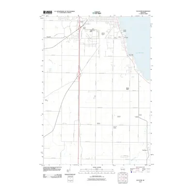
2010 Map of Van Dyne
USGS Topo · Published 2010About this map
Lake Winnebago defines the eastern edge of this shoreline landscape, where the communities of Black Wolf and Paukotuk sit along the water. The map documents a high density of burial grounds throughout the countryside, including Ellinwood Cemetery, Saint Johns Lutheran Cemetery, and New Elm Cemetery, reflecting the area's deep-rooted settlement history. In the northern reaches, aviation infrastructure is prominent with both Wittman Regional Airport and Pioneer Airport situated near the settlement of Fitzgerald.
Find a feature on this map
57 named features on this map. Tap any name to fly to it.
Don’t see what you’re looking for? This feature index may not catch every label — zoom into the map to look around manually.
Map Details
Editions of this 2010 Van Dyne Map
This is the sole edition of this map. No revisions or reprints were ever made.
Other maps of this area

1910 · Fond du Lac
USGS Topo · 1:62,500

1911 · Neenah
USGS Topo · 1:62,500

1955 · Neenah
USGS Topo · 1:62,500

1955 · Fond Du Lac
USGS Topo · 1:62,500

1955 · Fond Du Lac
USGS Topo · 1:24,000

1955 · Green Bay
USGS Topo · 1:250,000

1956 · Rosendale
USGS Topo · 1:62,500

1957 · Madison
USGS Topo · 1:250,000

1960 · Madison
USGS Topo · 1:250,000

1961 · Oshkosh
USGS Topo · 1:24,000