Loading...
Loading map...2022 Map of Van Horn
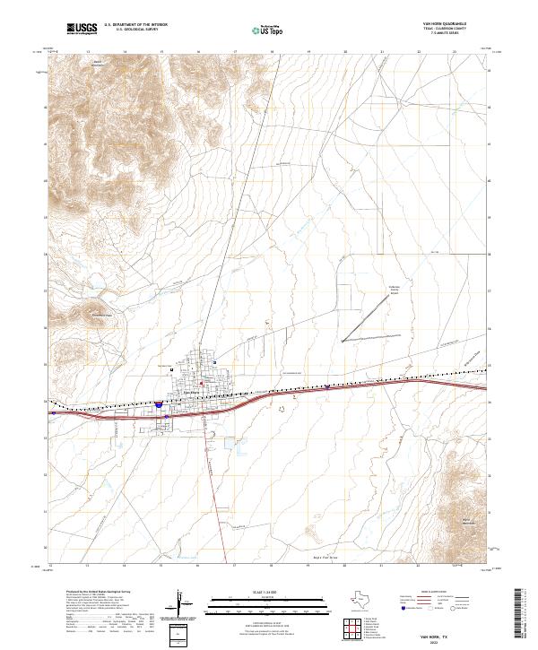
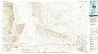
USGS Topo · Published 2022About this map
Van Horn serves as the focal point of this Trans-Pecos landscape, situated at the junction of significant regional routes. The town’s civic infrastructure is anchored by the Culberson County Courthouse and the local Van Horn Cem, while the Culberson County Airport sits to the east. This settlement occupies a broad valley floor between the towering Beach Mountains to the northwest and the Wylie Mountains in the southeast.
Find a feature on this map
53 named features on this map. Tap any name to fly to it.
Don’t see what you’re looking for? This feature index may not catch every label — zoom into the map to look around manually.
Map Details
Date Portrayed2022
Date Published2022
PublisherU.S. Geological Survey
Map TypeTopographic
Scale1:24000
Physical Dimensions24 x 29 inches
Editions of this 2022 Van Horn Map
This is the sole edition of this map. No revisions or reprints were ever made.
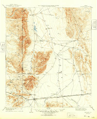
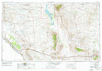
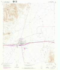
Historical Maps of Van Horn Through Time
6 maps found

Featured Locations
Source Details
SourceU.S. Geological Survey
CopyrightPublic Domain