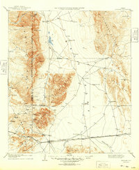
1906 Map of Van Horn
USGS Topo · Published 1949About this map
Van Horn serves as the central hub of this Trans-Pecos landscape at the start of the 20th century, where the Texas and Pacific railroad facilitates a sparse network of ranching and mining operations. The map documents a rugged interior defined by the Sierra Diablo and Salt Flat, where life depended on remote water sources like Medley's Double Wells and the T & P R R Pump Sta.
Find a feature on this map
48 named features on this map. Tap any name to fly to it.
Don’t see what you’re looking for? This feature index may not catch every label — zoom into the map to look around manually.
Map Details
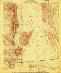
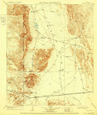
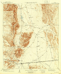
Editions of this 1906 Van Horn Map
5 editions found
Other maps of this area

1892 · Chispa
USGS Topo · 1:125,000

1894 · Valentine
USGS Topo · 1:125,000

1895 · Chispa
USGS Topo · 1:125,000

1895 · Sierra Blanca
USGS Topo · 1:125,000

1897 · Valentine
USGS Topo · 1:125,000

1897 · Eagle Mountain
USGS Topo · 1:125,000

1897 · Chispa
USGS Topo · 1:125,000

1906 · Van Horn
USGS Topo · 1:125,000

1916 · Eagle Mountain
USGS Topo · 1:125,000

1928 · Kent
USGS Topo · 1:125,000