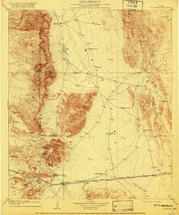
1906 Map of Van Horn
USGS Topo · Published 1920About this map
Van Horn stands at the junction of arid basins and high mountain ranges in this early twentieth-century study of West Texas. The landscape is defined by the logistics of water and mining, with isolated outposts like Figure Two Ranch and Millican's Ranch serving as focal points in a vast territory. The Texas and Pacific RR provides the primary industrial artery, cutting across the southern flats toward the Van Horn Mountains.
Find a feature on this map
38 named features on this map. Tap any name to fly to it.
Don’t see what you’re looking for? This feature index may not catch every label — zoom into the map to look around manually.
Map Details
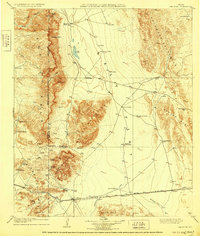
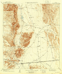
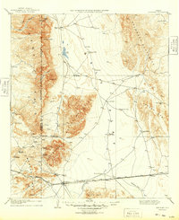
Editions of this 1906 Van Horn Map
5 editions found
Other maps of this area

1892 · Chispa
USGS Topo · 1:125,000

1894 · Valentine
USGS Topo · 1:125,000

1895 · Chispa
USGS Topo · 1:125,000

1895 · Sierra Blanca
USGS Topo · 1:125,000

1897 · Valentine
USGS Topo · 1:125,000

1897 · Eagle Mountain
USGS Topo · 1:125,000

1897 · Chispa
USGS Topo · 1:125,000

1906 · Van Horn
USGS Topo · 1:125,000

1916 · Eagle Mountain
USGS Topo · 1:125,000

1928 · Kent
USGS Topo · 1:125,000