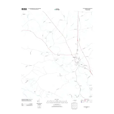
2013 Map of Vanceboro
USGS Topo · Published 2013About this map
Vanceboro serves as the central hub of this coastal plain landscape, where the confluence of road and water networks defines the local geography. The town's grid is bounded by Mauls Swamp to the east and Swift Cr to the south, reflecting a settlement pattern deeply influenced by the surrounding wetlands. This 2013 survey reveals the historic importance of water access along the Neuse River, marked by a series of riverfront sites including Lane Landing, Heath Landing, and Ipock Landing.
Find a feature on this map
73 named features on this map. Tap any name to fly to it.
Don’t see what you’re looking for? This feature index may not catch every label — zoom into the map to look around manually.
Map Details
Editions of this 2013 Vanceboro Map
This is the sole edition of this map. No revisions or reprints were ever made.
Other maps of this area

1901 · New Bern
USGS Topo · 1:62,500

1902 · Ayden
USGS Topo · 1:62,500

1902 · Vanceboro
USGS Topo · 1:62,500

1903 · New Bern
USGS Topo · 1:62,500

1903 · Trent River
USGS Topo · 1:62,500

1904 · Ayden
USGS Topo · 1:62,500

1904 · Trent River
USGS Topo · 1:62,500

1904 · Vanceboro
USGS Topo · 1:62,500

1905 · Vanceboro
USGS Topo · 1:62,500

1951 · Hackney
USGS Topo · 1:24,000